Priceless first map of Australia arrives in Melbourne for restoration
One of the National Library of Australia’s greatest treasures, a 1663 map of New Holland and the map on which all subsequent mapping of Australia is based, has arrived at the University of Melbourne for expert analysis.
The map, Archipelagus Orientalis, sive Asiaticus (Eastern and Asian archipelago) is the first published reporting of New Holland and New Zealand in the Dutch language.
It was created by the master cartographer for the Dutch East India Company, Joan Blaeu, and includes for the first time details of the sighting of Tasmania by Abel Tasman’s crew aboard the Zeehaen on 24 November, 1642.
Measuring 1185mm x 1520mm, the delicate map was found in a storage facility in Sweden in 2010 where it was believed to have spent most of its life, until it was acquired by the National Library of Australia in 2013.
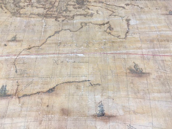
University of Melbourne Senior Paper Conservator Libby Melzer said the 350-year-old map was very fragile due to the damaging effect of the original blue-green paint, believed to be verdigris, used to highlight the coastlines and various details.
"Derived from copper and typically exposed to wine vapors to achieve its vibrant colour, verdigris is chemically unstable and has darkened and corroded the surrounding paper, eating through it entirely in some places," said Ms Melzer, from the Grimwade Centre for Cultural Material Conservation.
"Much of the detail is obscured by a darkened varnish layer and there are many small tears and creases from poor storage before the map was purchased by the Librar," she said.
“The conservators have already been able to examine fragments of the map supplied by the National Library of Australia that were unable to be reattached following a previous treatment.
"The Library has also provided the Grimwade Centre with a large vial of powder containing residues of the varnish they removed in order to reveal some aspects of the image before it went on display in 2013.
“Using the samples of the paper, paints, inks and varnish provided by the Library, we have already begun to use Fourier Transform Infrared (FTIR) spectroscopy to analyse the varnish and the paint binder, and X-Ray Fluorescence (XRF) spectroscopy to look at the pigments and degradation products before we begin further, non-destructive analysis on the map itself.”
National Library of Australia Director-General Anne-Marie Schwirtlich said the map had been sent to the University of Melbourne, where state-of-the-art facilities would be used to analyse and identify the material components of the map.
"This will determine the conservation treatment options for consideration by our Curator of Maps and Preservation team before the University embarks on the most appropriate treatment,” Ms Schwirtlich said.
With three conservators working on the map the conservation treatment is expected to take approximately six months to complete.